Japan / Tohoku Region /
JP053Izunuma and nearby lakes
Site Description
Artificial landscapes (terrestrial); Wetlands
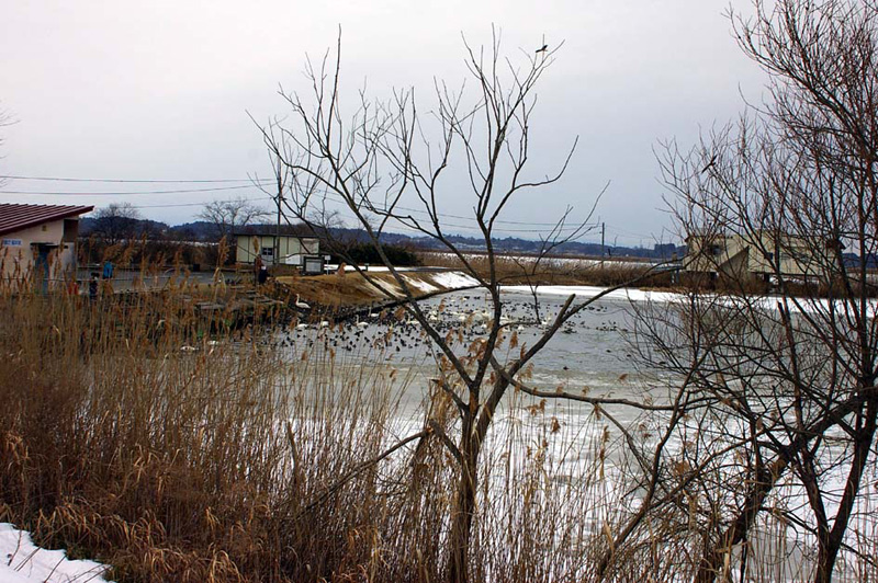
The site is formed on the borderlines of plains and hilly districts in the northern part of Miyagi Prefecture. Lake Izunuma and Lake Uchinuma area used to be a vast wetland spreading along the Hasamagawa river, but repeated reclamation works have shaped the present form of lakes. Underwater and floating leaved plants thrive in the shallow waters, while emergent plant zone with Phragmites australis and others expands along the lakes. Salix forests are formed outside the emergent plant zone, along banks and inflowing rivers. In some parts of its extensive open water surface, muddy bottoms of the lakes are exposed like tidal wetlands in the drought season.
Most of the flat lands around the lakes are rice paddy fields, and low hills around the lakes are utilized as afforestation areas for Cyryptomeria japonica, Quercus serrata and Castanea crenata secondary forests, fields, residential areas and for other versatile purposes.
Area & Coordinates
1,800ha 38°43′N 141°07′E
region: Tohoku
Category
A4i, A4iii
Designation Type
Wildlife Protection Area (government), National Monument
Protection Status
Protected
Conservation issues
- Aquaculture/fisheries
- Disturbance to birds
- Construction/impact of dyke/dam/barrage
- Consequences of animal/plants/ introductions
- Other
Birds
Breeding resident
Accipiter gentilis, Buteo buteo, Fulica atra, Alcedo atthis
Breeding visitor
Ixobrychus sinensis, Porzana fusca, Cuculus canorus, Hirundo rustica, Motacilla cinerea, Acrocephalus bistrigiceps, Acrocephalus arundinaceus, Emberiza fucata, Sturnus philippensis
Winter visitor
Anser albifrons, Anas acuta, Haliaeetus albicilla, Haliaeetus pelagicus, Circus cyaneus, Anser fabalis, Anthus spinoletta
Image
©HONDA Toshio
![]()
